Arctic intelligence for infrastructure operators.

Pin any location. Ask Circe about permafrost, weather, sea ice, cellular coverage, and terrain. Backed by 8+ public datasets.

πŸ“

Click anywhere in the Arctic to start

πŸ»β€β„οΈ Click the map Β· Ask Circe anything about your pinned location

How it works

From question to answer in 30 seconds

01

Pin your location

Click anywhere on the Arctic map: coastal, inland, or offshore. No GIS skills required.

02

Ask anything

Ask Circe plain questions. "Is this suitable for a pipeline?" "When does sea ice clear here?"

03

Get data-backed answers

Circe pulls from 8+ Arctic data sources and gives specific, cite-able answers in seconds.

Industries

Built for everyone who works in the Arctic

Whether you're building pipelines, routing ships, underwriting risk, or planning research.

Infrastructure & Mining

Ground stability, permafrost risk, frost heave potential, and active layer depth for any project site.

Maritime & Shipping

Sea ice forecasts, navigation windows, port accessibility, and route risk for Arctic voyages.

Insurance & Risk

Site-specific risk profiles for underwriters, asset managers, and ESG frameworks covering climate exposure.

Telecom & Connectivity

Cellular coverage gaps, tower placement analysis, satellite fallback options, and signal modeling.

Research & Academia

Fast access to multi-source Arctic datasets with no API juggling, perfect for field planning and analysis.

Government & Defense

Sovereignty monitoring, SAR mission planning, environmental baselines, and Arctic situational awareness.

Data depth

Not a dashboard. A toolbox.

We aggregate 8+ trusted Arctic data sources so you don't have to. No GIS expertise, no API keys, no stitching CSVs together at 2am.

  • βœ“NSIDC permafrost + sea ice extent (daily updates)
  • βœ“Copernicus Sentinel-1 SAR for ground deformation
  • βœ“ArcticDEM 2m terrain, full Arctic coverage
  • βœ“MET Norway Arome Arctic weather model
  • βœ“OpenCelliD cell tower locations + signal data
  • βœ“EMODnet + IBCAO bathymetry for Arctic seas

8+

Data sources

100%

Arctic coverage

Daily

Update cadence

∞

Questions answered

Trusted public sources

πŸ›°οΈ

NSIDC

Sea ice & permafrost

πŸ‡ͺπŸ‡Ί

Copernicus

Sentinel SAR & optical

⛰️

ArcticDEM

2m elevation

🌀️

MET Norway

Arctic weather

πŸ“‘

OpenCelliD

Cell tower data

🌊

EMODnet

Bathymetry

πŸ—ΊοΈ

USGS

Alaska terrain

🌑️

GTN-P

Permafrost boreholes

Ground truth

Better data starts on the ground

Satellite and model data gives you the picture. Site instrumentation gives you certainty. These sensor types deliver the best localized ground truth for Arctic assets.

Permafrost temperature strings

Thermistor chains installed at 2–20m depth give continuous ground temperature profiles: the earliest warning of active layer deepening before surface deformation begins.

GTN-P protocol Β· 15-min intervals

Tiltmeters & inclinometers

Detect slope creep, frost heave, and structural tilt on foundations and embankments to sub-milliradian precision. Ideal for pipeline supports, bridge abutments, and retaining structures.

Β±0.001Β° resolution Β· solar-powered

InSAR satellite monitoring

Sentinel-1 repeat-pass SAR interferometry measures millimeter-scale ground deformation across entire sites from orbit. No ground access needed, critical for remote or inaccessible terrain.

12-day revisit Β· 20m pixel Β· free archive

IoT soil moisture & frost depth

Low-cost capacitive sensors in a wireless mesh track active layer thickness and soil moisture seasonally. Informs drainage design and freeze-thaw cycle modeling at centimeter resolution.

LoRaWAN Β· 5km range Β· 2-year battery

Crack & displacement gauges

Linear potentiometers and digital crack sensors across structural joints catch differential settlement early. Trigger alerts before damage becomes costly to repair.

0.1mm resolution Β· real-time alert

Drone thermal imaging

Annual FLIR surveys reveal near-surface ice distribution, subsurface voids, and anomalous thaw patches invisible to satellite. Fast, cost-effective ground truth for pre-construction planning.

FLIR Zenmuse Β· 5cm GSD Β· repeatable transects

Vibration monitoring

Geophone arrays and MEMS accelerometers detect micro-seismic events, blasting impacts, and equipment vibration at sensitive infrastructure. Essential for pipelines, bridges, and buildings near active operations.

1Hz–1kHz Β· continuous logging Β· alert threshold

Weather stations

On-site automatic weather stations measure air temperature, wind speed and direction, precipitation, humidity, and solar radiation. Ground-truth data that corrects model biases in complex Arctic terrain.

WMO-compliant Β· solar + battery Β· LTE/Iridium backhaul

Water quality buoys

Moored instruments track temperature profiles, dissolved oxygen, turbidity, conductivity, and pH in Arctic lakes, rivers, and coastal waters. Critical for permafrost thaw lake monitoring and baseline assessments.

Multi-parameter sonde Β· seasonal deployment

Radar stream gauging

Non-contact surface velocity radar measures stream flow without in-channel sensors. No ice jamming, no maintenance windows. Provides continuous discharge data through breakup and freeze-up.

24GHz Doppler Β· Β±1% velocity accuracy Β· remote access

Beadedstream team installing thermistor strings and data logger in the Arctic tundra, helicopter in the background

Ready to monitor your site continuously?

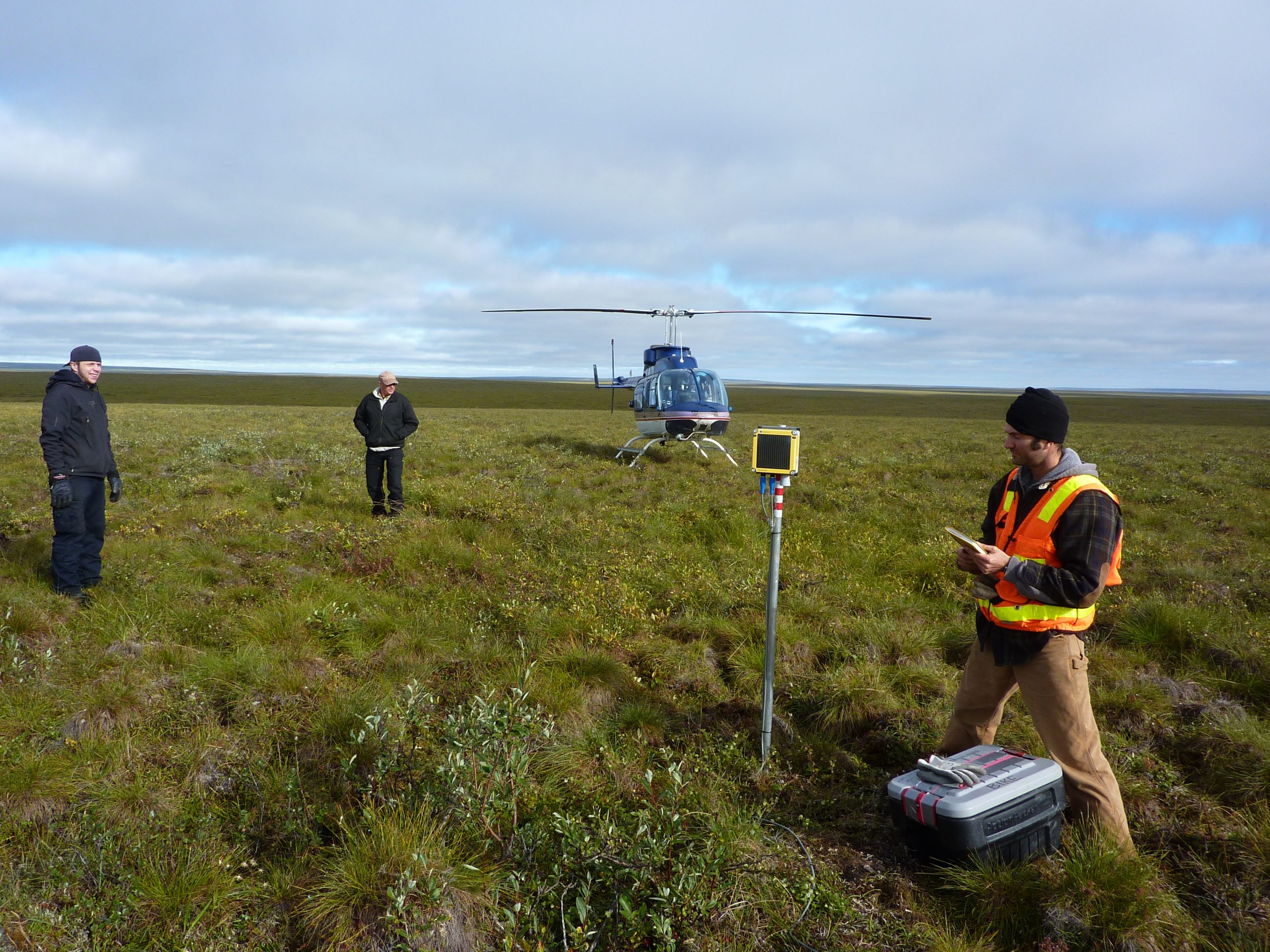
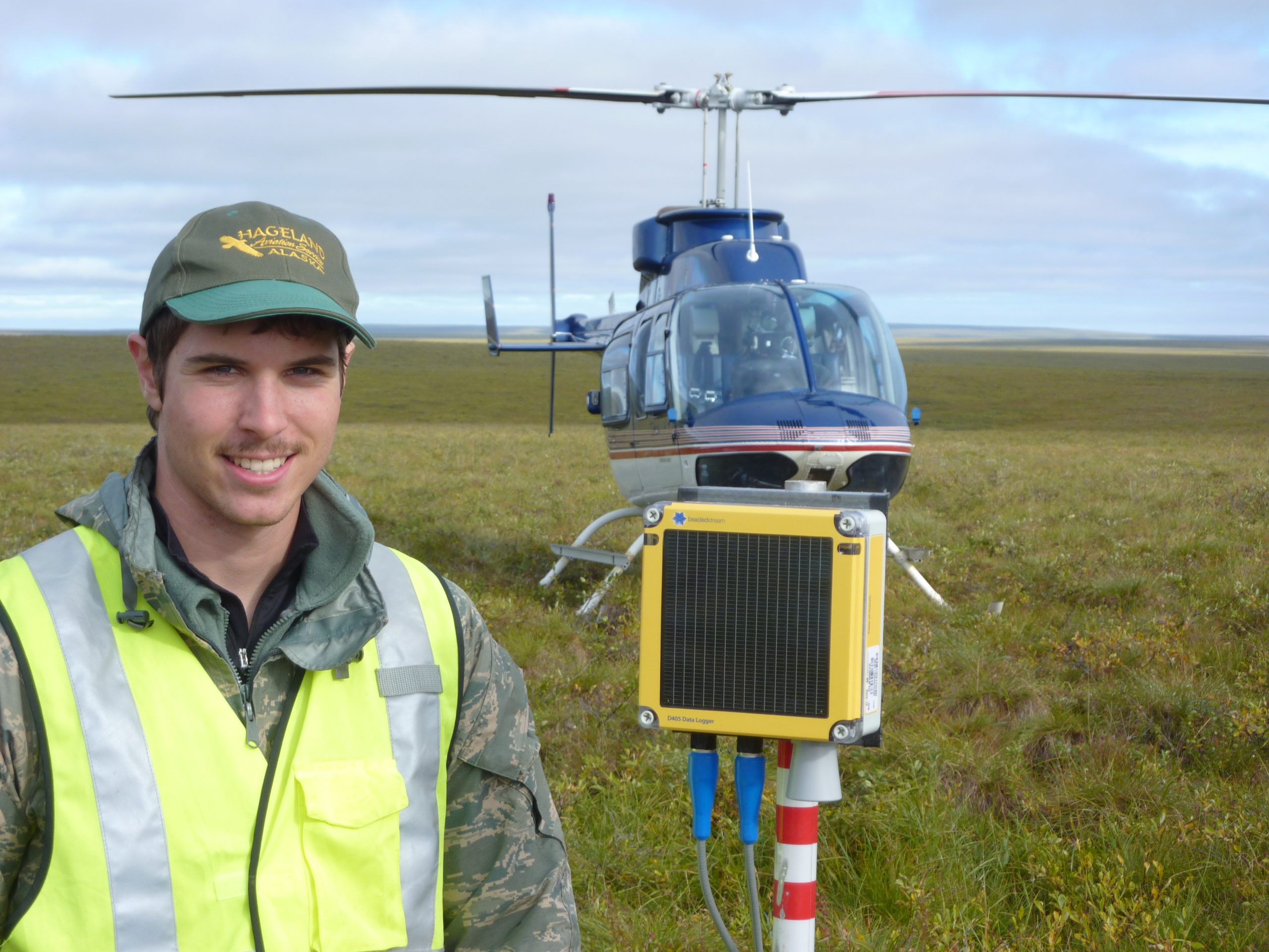
Circumpolar.ai connects to beadedcloud, a site monitoring platform built for Arctic infrastructure. Track temperature, deformation, and sensor alerts from any browser.

Get early access
Beadedstream project manager holding a D405 datalogger in the Arctic tundra, helicopter in the background

Site monitoring

From intelligence to action

Circumpolar gives you satellite and model data. When you're ready to monitor a specific building, pipeline, or embankment in real time, beadedcloud connects your site sensors and triggers alerts before damage occurs.

πŸ“‘

Any sensor

Temperature probes, tiltmeters, crack gauges: beadedcloud ingests them all over LoRaWAN, Iridium, or LTE.

⚑

Real-time alerts

Threshold-based alerts go to your team via email or SMS the moment anomalous readings are detected.

πŸ“Š

Audit-ready logs

Every reading is timestamped and stored. Regulators, insurers, and engineers all get the same data.

Get early access

Free API

Permafrost data in one request

Alaska and Canada permafrost zone, thaw risk, ground temperature, and active layer thickness β€” with confidence intervals. Free tier, no GIS required.

shellGET /api/v1/permafrost
curl "https://circumpolar.ai/api/v1/permafrost\
  ?lat=64.84&lng=-147.72&date=2050-06-01" \
  -H "Authorization: Bearer cpol_YOUR_KEY"

{
  "date": "2050-06-01",
  "zone": "discontinuous",
  "risk": { "score": 0.65, "label": "High" },
  "mean_annual_ground_temperature_c": {
    "estimate": 2.2,
    "low": -1.5, "high": 5.9,
    "confidence": 0.37
  },
  "active_layer_thickness_m": {
    "estimate": 2.3,
    "low": 1.3, "high": 3.4,
    "confidence": 0.37
  }
}
🌑️

Ground temperature

MAGT with confidence intervals derived from ASTER elevation + Alaska MAAT climate model, calibrated on 4 NOAA stations.

πŸ“

Active layer thickness

Stefan equation calibrated on the CALM Alaska network. Low/high range reflects seasonal and site variability.

⚠️

Thaw risk score

Risk 0–1 mapped to zone class (continuous β†’ isolated). Useful for rapid triage of infrastructure sites across a portfolio.

πŸ»β€β„οΈ

Get early access to Circumpolar

We're onboarding a limited cohort of infrastructure developers, underwriters, and researchers. Tell us what you're working on.

* Email is the only required field

No spam. We'll respond within 48 hours.